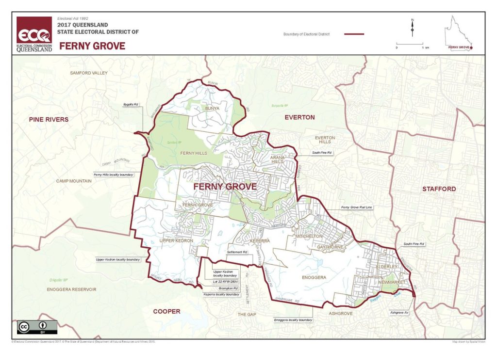
The Ferny Grove Electorate covers part of Brisbane’s north-west and the City of Moreton Bay’s southern reaches. It was first created in 1992 and was named for the suburb of Ferny Grove.
The electorate runs west to east, largely along the Ferny Grove Rail Line and the north-west arterial road of Samford Road.
The Electorate is made up of the suburbs of Ferny Hills, Ferny Grove, Upper Kedron and Enoggera, and parts of Arana Hills, Bunya, Keperra, Mitchelton, Gaythorne, Alderley and Newmarket.
Currently, more than 50,000 people call the Electorate of Ferny Grove home.
A redistribution is due in late 2025 where the boundaries may change.